16 Miles Through Sam Houston
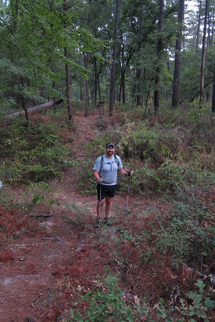
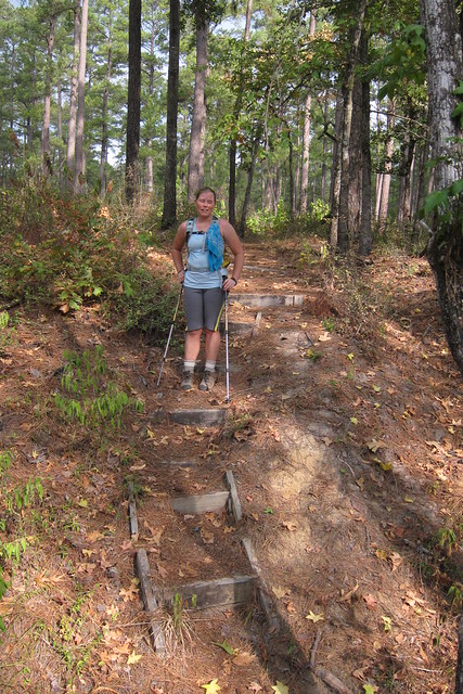
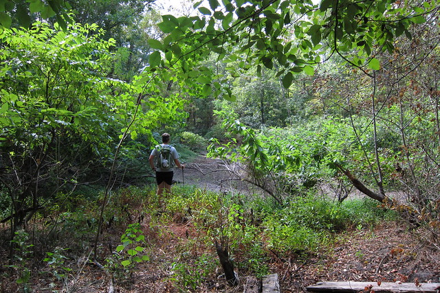
Mentally I was prepared for a 10-12 mile hike. Because our maps were conflicting and not quite accurate we ended up on a 16 mile hike and I could feel it at the end. Hiking as much as we have hiked in the last year and a half it is easy to gauge how far we travel. Sometimes I think that since we are going on a day hike that I don’t need to prepare as if I’m thru-hiking. That’s a mistake! I learned when we hiked to the giant sycamore and wore cotton socks. This time I didn’t wear my hiking underwear…bad idea. Chafing! I wore the right socks but wasn’t in my normal boots so I ended up with some blisters, one that ended up blood filled, something I’d never had before.
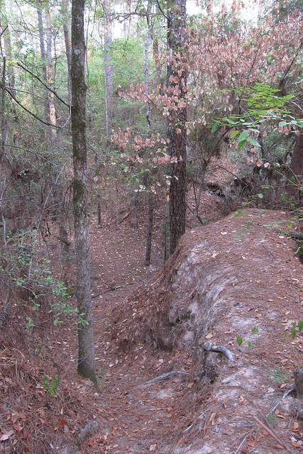
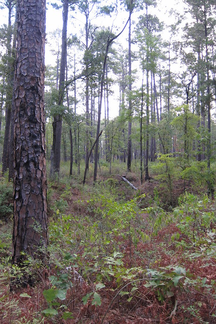
It was an enjoyable hike, though. I’m always bummed when I go places that don’t seem to get much use. We were in some fairly far out regions of the forest and I wonder how often anyone comes through there. A few forest roads access that area so one can get in that way, though.
We ended up making a large loop out of the North Wilderness Trail and then connecting the west end of the Little Lake Creek Loop, back to the Pole Creek Trail that we’d taken on our last hike. Chris found a better map online and figured it to be about 16 miles. I had guessed 18.
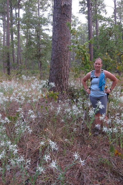
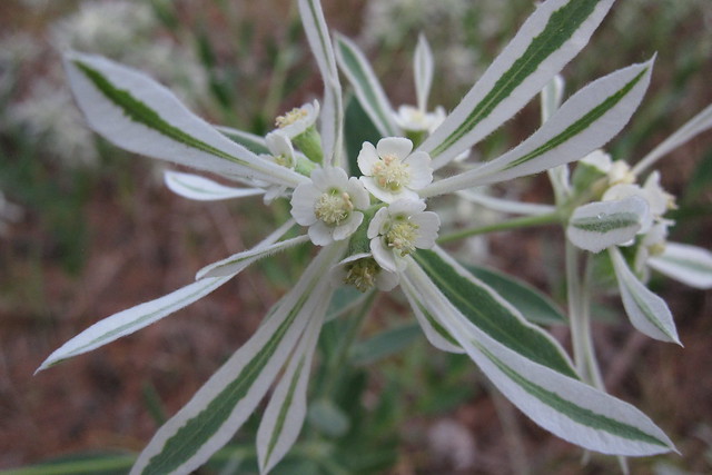
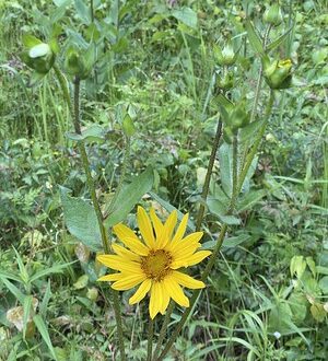
A small patch of snow-on-the-prairie, Euphorbia bicolor, made me opt for a photo stop. Can you tell sedentary work life is catching up with me? Hrm. More running and yoga needed.
Not too far after this point we heard thunder and Chris thought we might be half way at this point. If we’d been on the right trail and our maps weren’t messed up. Good thing the main storm bypassed us, but we did get a five to ten minute sun shower a little while later.
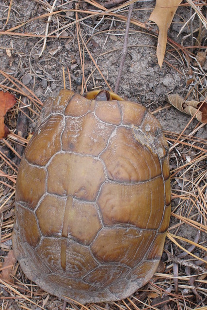
We saw a lot of deer on the trail, plus a pack of three dogs that appeared to know where they were going, and then this little turtle. I think this little friend is a three toed box turtle.
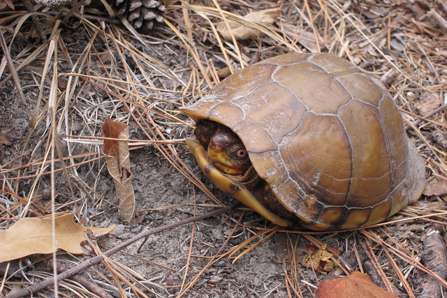
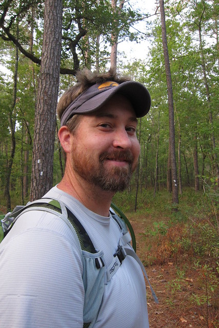
Hi!
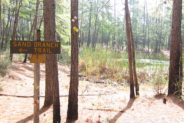
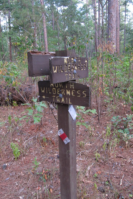
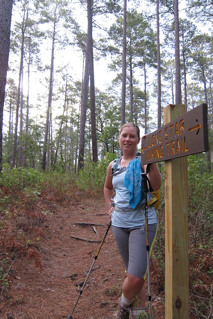
We were supposed to have been on this trail for most of the time, however the map was labeled wrong. Then we chose to go to the right and took the long route. Had we gone left we’d of done the 10-12 miles we’d estimated originally. Oh well! Adventure!
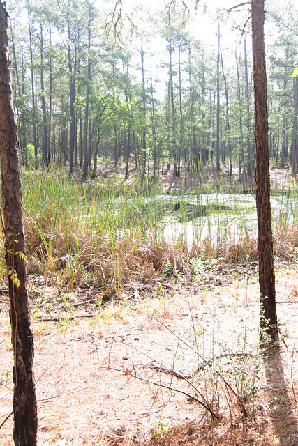
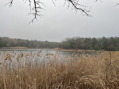
One of the few water sources we saw.
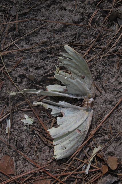
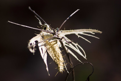
A luna moth dead on the trail.
And another small water source.
I need to be out doing 16 miles every weekend! Love the feeling after a good hike and being out in the woods. I’m disappointed that there is this huge forest right near a large metropolitan area and it is not used nearly like it should be. Maybe that’s a good thing, I don’t know? But, Ocala National Forest is right by Orlando and Ocala and gets heavy use, Chris says mostly because of the springs, but lots of hiking goes on in that area. Texans are missing out!
You May Also Like
Weekend at Ivy’s
Engulfed in Fungus – Attack of the Akanthomyces sp.