Trail Tales 2: Southern North Carolina
Pertinent posts:
Nearo and Zero in Bryson City
Oh, Sunshine I love Thee
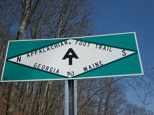
GA/NC in the Forest
Standing Indian Mountain
Siler Bald
Trail Magic
It felt like the minute we left Georgia the trail immediately changed. We had some minor rock climbing and it threw us for a loop. Wait a minute, where’d the endless PUD’s go? Rock climbing, huh? We’d heard that there was bad weather coming but that night was a beautiful evening and we saw a lot of people at the first shelter passed the border. After setting up camp we went to bed early. The next morning we woke to cooler weather and clouds. Someone mentioned talking to their dad and that the weather was coming with rain on the way and snow later on. We just prepared ourselves by layering up and started hiking. With the exception of a few climbs that day, Standing Indian Mountain being the the biggest one and it was such a graded trail that the elevation change wasn’t nearly that bad, the trail seemed to go pretty quickly that day. Walking in snow is definitely much easier than walking in rain and is quite peaceful, too. Once we arrived at Carter Mountain shelter the weather soon deteriorated. I think we at our earliest dinner at 4pm and were in the tent by 5pm. The shelter was full and people ended up sleeping under the shelter that night.
The next morning the ground was covered in snow and our tent poles were frozen together. Getting going and walking down the trail was the best way to warm up. The snow covered rhododendron tunnels were absolutely beautiful.
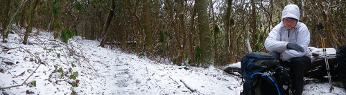
I had to take a short break on the trail because I felt a migraine coming on; the fuzzies out in my eyes and a slight headache. Luckily we had Excedrin and things were taken care of. The trail the rest of the day was really good, but we had our first rock scrambling climb up Albert Mountain. It ended up not being as difficult or scary as I imagined.
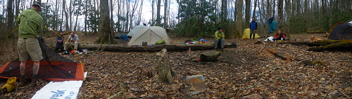
We got to camp too early to hit the sack, but we shivered as the snow kept coming down.
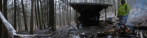
The problem with building fires is that once you move away from them it seems to get even colder!
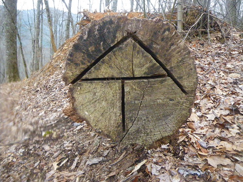
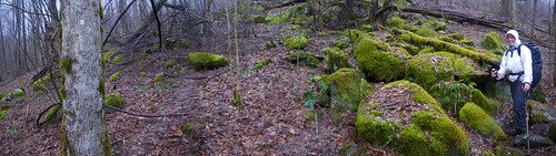
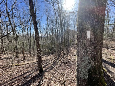
The weather was better the next day as we went down to the gap that leads you to Franklin, NC. Many people went into town for a resupply but we were planning to wait until the Nantahala Outdoor Center another two days away. I remember passing “Swinging Dick Gap”, which was really “Swinging Lick Gap” but someone had cleverly etched the L into a D. Oh, those silly hikers! We went up Siler Bald and Wayah Bald and intended to stay at a campsite on the backside of Wayah Bald until we were rudely awakened to a foot or two of snow and ice on the north face of the mountain. We ended up pushing into a 14 mile day, our longest thus far.
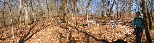
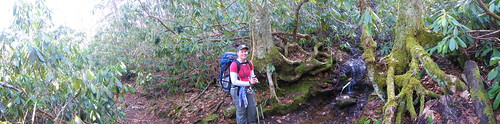
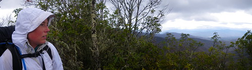
Between Siler and Wayah Bald.
On top of Wayah Bald we met StumbleWolf and Lightning from the Traveling Circus (before we knew about the TC) and then settled in at the Wayah Bald Shelter. We also met Traipsing Platypus who had set up a tent near ours but we never saw her again after that night until we got to Maine! The trail does mysterious things with hikers!
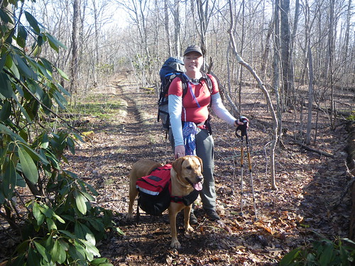
We had fun playing with Jasper, the dog of another hiker, the next morning. We had some good terrain and the dog would run up to us and then run back to his owner! We hiked with him and his owner off and on until we found out the owner got off the trail somewhere near Erwin. Bummer!

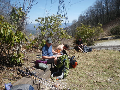
I think many people would be surprised how many times you cross power lines and see cell towers or even just crossing a road, whether paved or dirt. The AT is remote, but not that remote.
Beautiful weather made the climb up to Wesser Bald an awesome adventure.
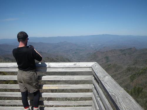
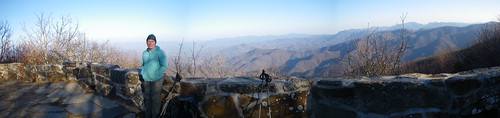
On top of the Wesser bald is a look out tower. This is our friend Missionary.
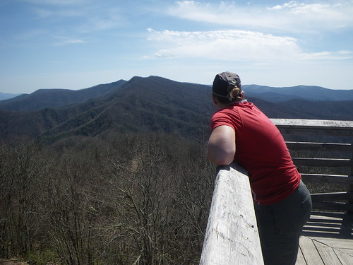
It’s always amazing to have a view in order to ponder at what you’ve already walked over and to see what you will be walking over. The talk on the trail was about the snow in the Smokies and while on top of the bald we tried to see if we could make out Clingman’s Dome, the highest point on the trail.
We only did 10 miles that day since we were trying to kill time until we got to Fontana Dam to meet Chris’ mom. We took our time that day and got to camp early as did the majority of everyone else at the Wesser Bald shelter. This is one of the worst placed privies on the trail and you have to kinda lean over to the side so you can prevent yourself from being seen from the shelter!
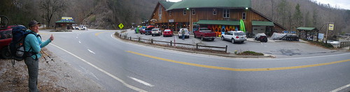
At the NOC we had to hitch into Bryson City. We considered staying at the hostel there, but once we got down to the gap we realized we’d of been bored and we would have greatly enjoyed being in town instead. So, we hitched a ride and got a hotel room and oh, that was so nice! Our biggest problem was trying to figure out how to get back to the trail but I remembered I knew some people who worked in Cherokee and I was able to get him to take us back to the trail so it all worked out! Thank goodness!
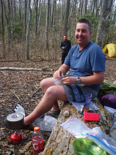
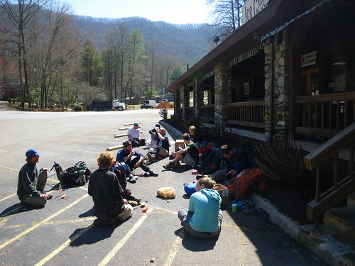
The climb of the NOC is notorious for being a bit difficult. It was a bit trying that’s for sure. We ran into some trail magic from some local folks who had houses down the road but we’d already resupplied and decided against taking extra weight.
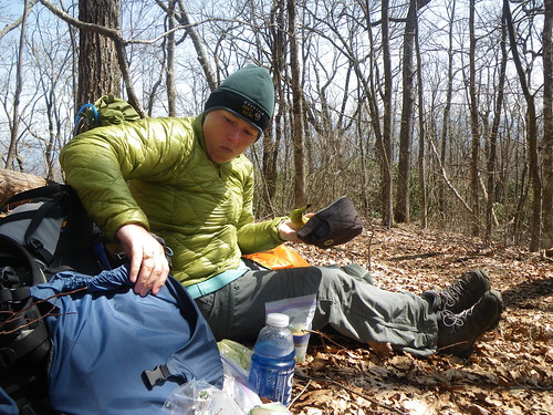
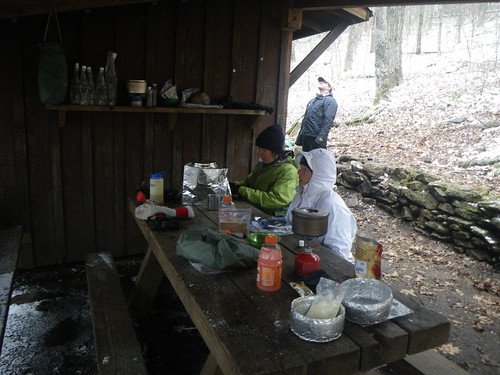
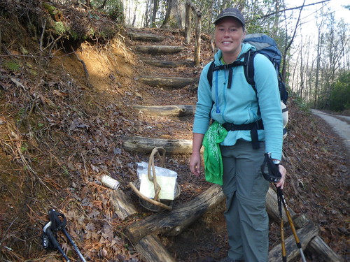
Lunch in the trail.

Cheoah Bald was a beautiful site and we met iTrod on top. We camped at a nice gap that night and it was the last nice day for a few days.
It was a pretty cold and rainy day for the climb down and out of Stecoah gap. Luckily we were only doing 9 miles again, short days to stall, and so we took our time at lunch before making it to the campsite for the night.

BRRRR!
The next morning we woke up to an inversion, the clouds were lower than we were. Pretty cool to look down into the valley. For most of the day as we descended into Fontana Dam we were walking in the clouds and visibility was pretty short.
Finally we made it to the Fontana Hilton, one of the nicest shelters on the trail. It was pretty full so we set up our tent. There is a small resort about three or four miles away and once we found out we could call and get a shuttle to the dining room we were stoked! Burgers here we come! I still think that was one of the best burgers we had on the trail.
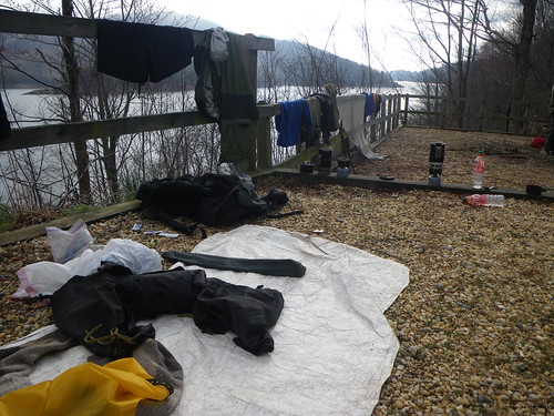
We took our second zero that day, chilling for most of the morning at the shelter and drying things out.
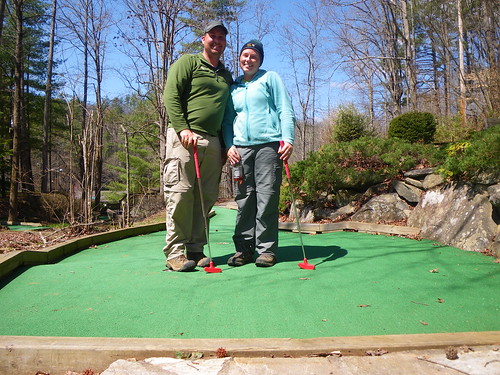
The second part of the day was spent up at the village general store eating junk food, picking up our maildrop, hanging out and playing putt-putt!
A big group of hikers came in later in the day and we saw some folks we’d met earlier on and new faces. We met Nuthatch and Sea Otter for the first time and were blown away by the amount of miles they were already averaging.
Finally Chris’ mom and step dad showed up and we were off for another zero day!
Shelters we stayed at:
Muskrat Creek Shelter
Carter Gap Shelter
Rock Gap Shelter
Wayah Shelter
Wesser Bald Shelter
Locust Cove Gap
Cody Gap
Fontana Dam Shelter
****Next Up: The Smokies****
You May Also Like
2 Comments
Prem
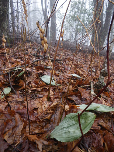
Ooh…Aplectrum hyemale….neat! I hope one day to get some time shooting orchids in the greater southeast.
—Prem
Beegirl
Been checking out your photos on Flickr. Looks like an amazing adventure! Congratulations!