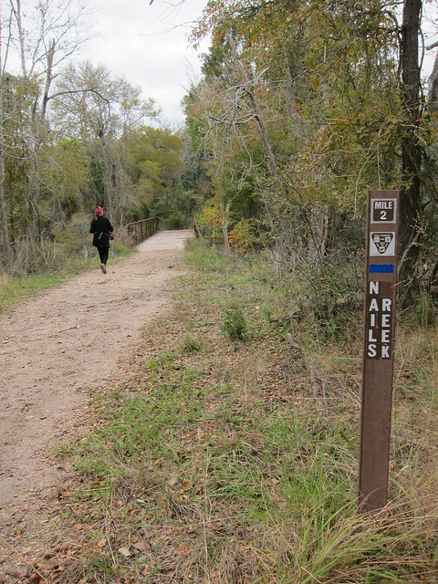
9 Miles at Nails Creek State Park
Lots of photos, details at the end…
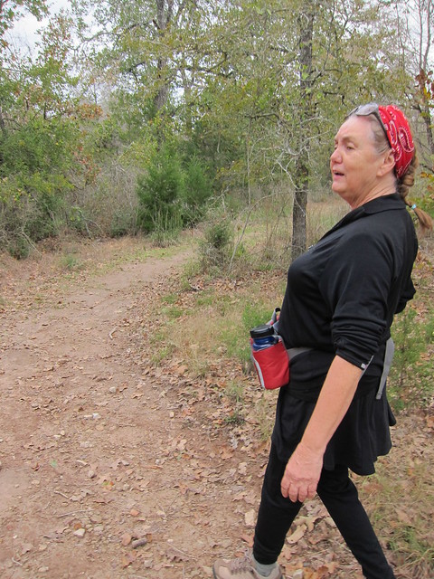

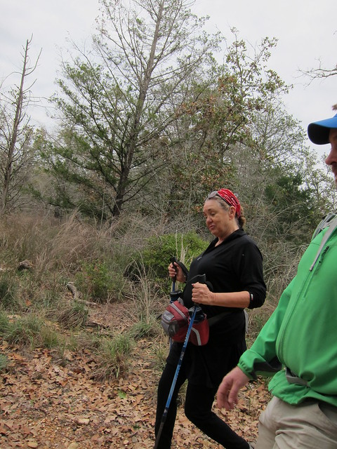


Last weekend, still wanting to stretch my legs after our failed attempt on the Northeast Texas Trail, Chris and I decided to hike the Somerville Trailway starting at Nails Creek State Park out west of Brenham. Our AT friend RedHat lives that direction and we invited her to join along. I had only seen her two other times since the AT, meeting her once for dinner and then hiking with her on the Lone Star Trail for a dayhike, but that had been almost two years ago! She’s always heading back to the AT to visit her boyfriend who is a ridgerunner in Georgia, and doing other traveling to visit family, so right now is usually a good time to find her home.
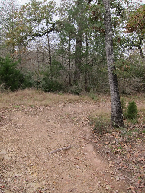
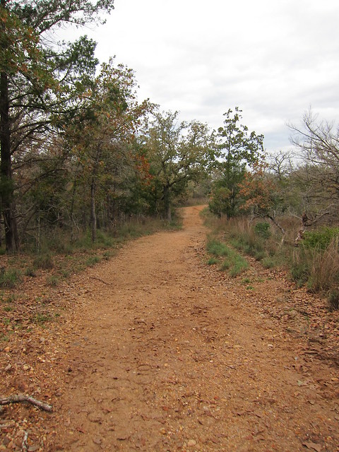
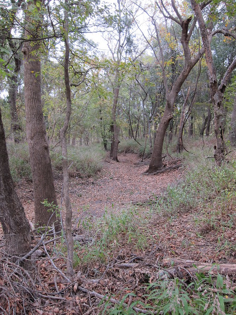
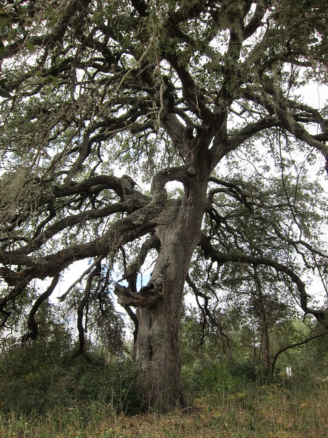
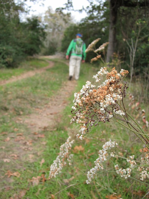
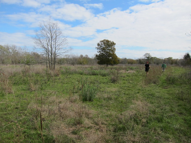
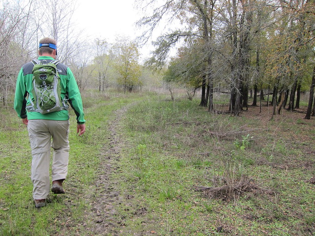
We met at 10am at the park entrance, paid our fees and headed off down the trail. She’s hiked this trail several times, doing the whole trailway up to the Birch Creek unit, too. We didn’t really have any idea how far we’d hike, just hike for a few hours and loop back and turn around. We managed to get off trail pretty fast, taking a sub-loop by accident, and then turned back where we came from to get back on the main trailway. It was a great hike, easy wide trail with some rolling sections to provide a bit of terrain. The weather was windy which even though it was warm-ish, I still kept my ear muffs on for awhile to keep my ears from hurting.
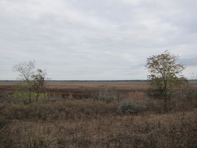
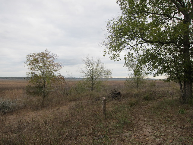
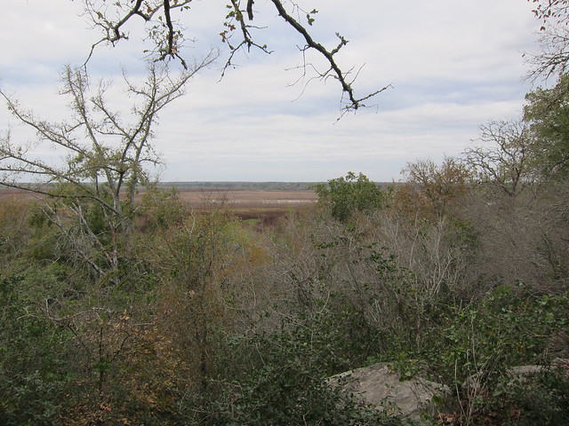
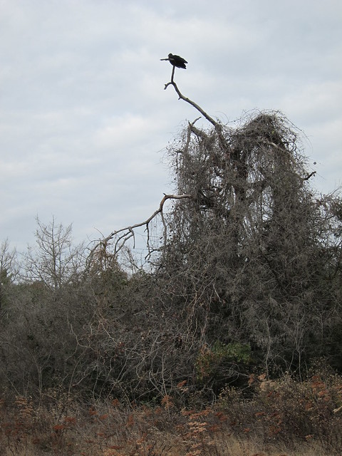
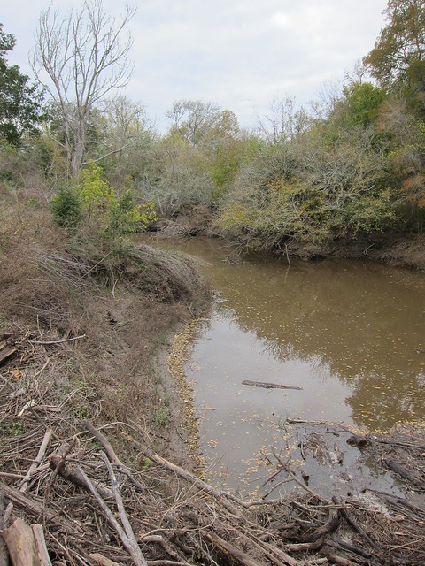
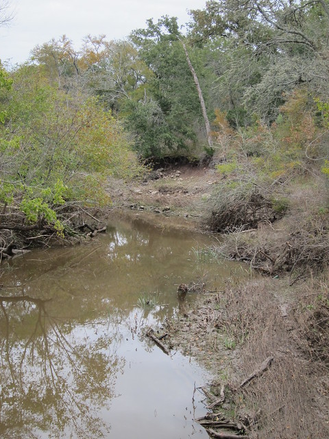
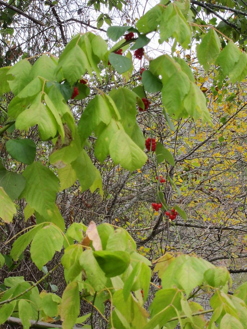
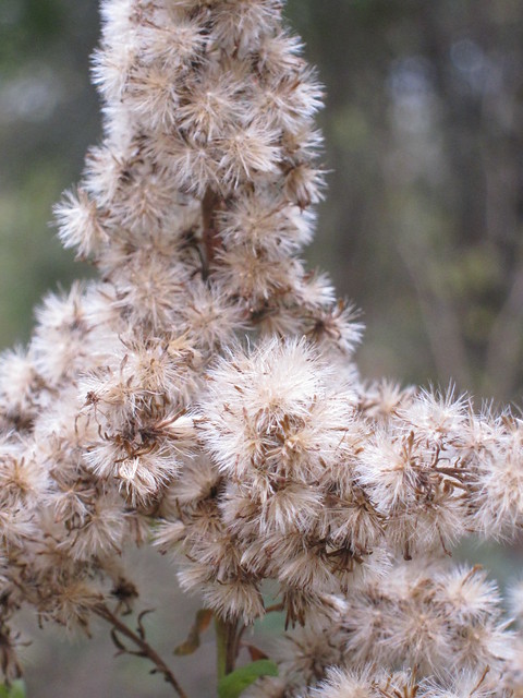
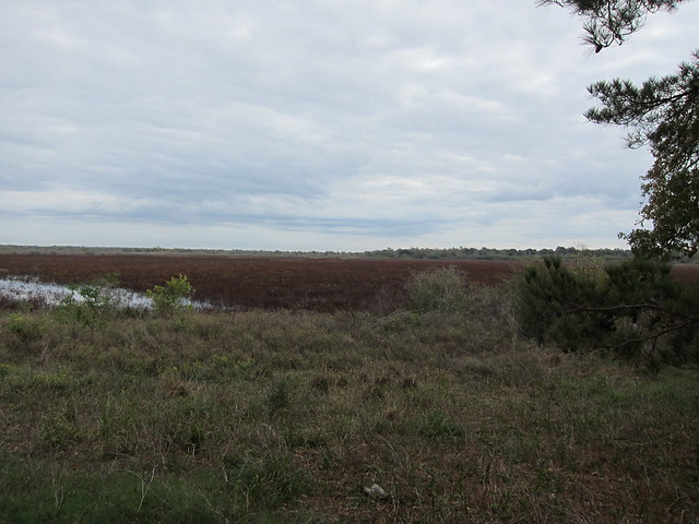
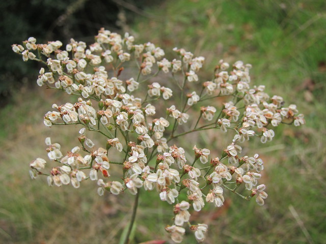
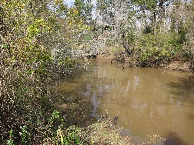
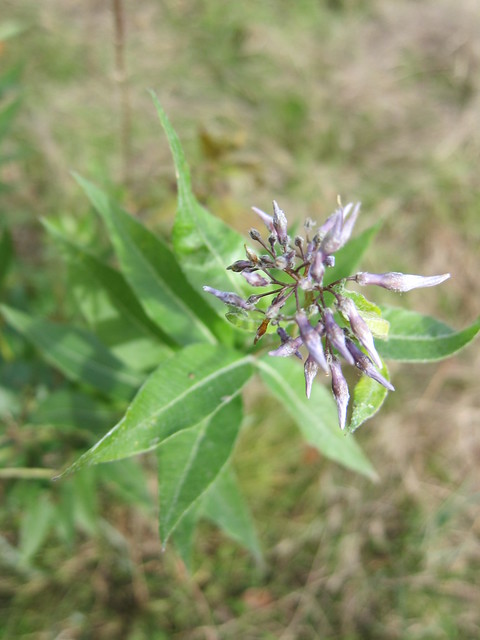
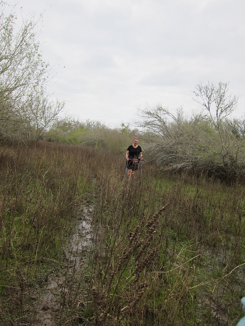
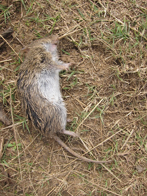
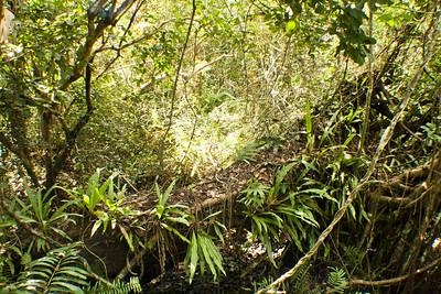
At two miles we crossed Nails Creek itself which had a log jam at the bridge. We took a short break on the step stool that is in place for people to dismount their horses and walk them across the bridge, and then carried on to Flag Pond. We took the west route around Flag Pond, taking another break at the north end to figure out our strategy from there. There are a few new trails on the map that is provided at the park office which is not displayed on the map linked above, but around Newman Bottom we took a trail to the northeast along Yegua Creek, the creek that creates Lake Somerville, and then explored the area in there. As you see from some of the latter photos the trail ended up wet and muddy. We took RedHat on an adventure, that’s for sure! A couple of the small water crossings weren’t narrow enough to jump across which meant we had to stick at least one shoe in the water to get across. This section was closed to hikers until noon due to duck hunting, and when we joined back up with the trail on the east side of Flag Pond we scared up a lot of ducks and other little brown jobbers from the shrubs along the edge of the pond.
It was a great hike and I’m basing my mileage off of RedHat’s estimation of 9 miles that she posted when she got home. That sounds about right. My legs and hips were still feeling the effects of the hike the previous weekend so I was quite sore afterwards. I think they could probably use a 9 mile hike every weekend.
It was mid-afternoon, and though we had eaten snacks along the trail RedHat offered to take us to the Burton Cafe for ‘dunch’. Burton is an old German settlement with a history built around cotton, and this was evidenced in the cafe. The menu hosted many German type foods and if you still aren’t full, there are pies to order too! Mmmm! I was glad to know about this place in case I wanted to stop along US 290 in the future on our way to Austin.
In short, I’m glad this trailway exists. It looks faily well used by many types of recreational users: bikers, hikers, horse riders, as well as those hunting and fishing. A great option for Houston and Austin folks looking for a longer hike!

5 Comments
Joan
Looks like a fun adventure! Laughed about “dunch” will have to remember that one!
Red Hat
Thanks for posting this, it took me a few days to catch it, since I was busy with my son and daughter-in-law, and my their three sons (including Max, born 12/6)… Loved your write up!
Moosie
Sounds like fun! I’ve got to get in better shape. I want to go with you!!!
Pingback:
Pingback: