Trail Tales 5: Hot Springs to Erwin
Relevant posts:
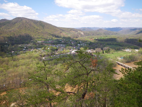
Spring in Erwin
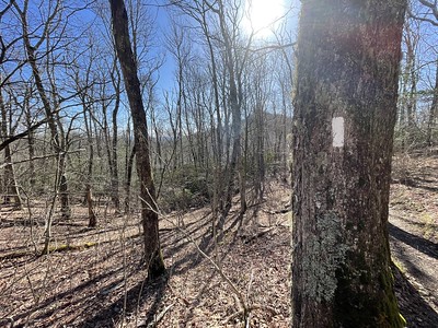
We’d heard from our friend Thin Mint had said that the climb out of Hot Springs was one of her favorites and it wasn’t a let down. As you leave Hot Springs you walk along the river front for awhile until you climb up onto the ridge and head on out of town.
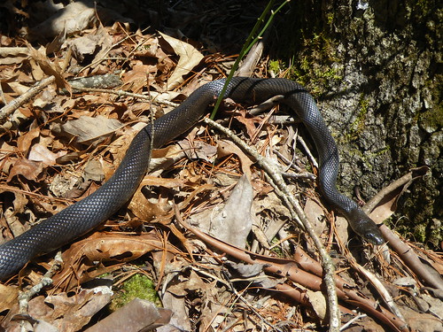
We saw two snakes on our way out of town, this one and a water snake down near the river.
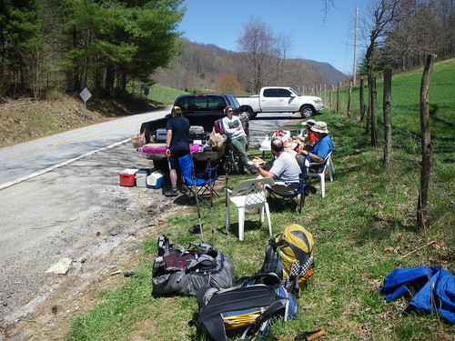
On our way out of town we ran into On the Loose who was slackpacking her way back into Hot Springs. Slackpacking is where one gets dropped off at a certain distance from town and walks back to town with a light pack. It is usually done to avoid a climb, but sometimes it’s just to get something in, a sort of ‘nearo’ to spend more time in town. We’d met her in the Smokies. She and Red Hat both had the same red shirt I had, a Smartwool shirt that we’d all bought on Steep and Cheap! I always wished we’d gotten a photo of all of us wearing the same shirt together.
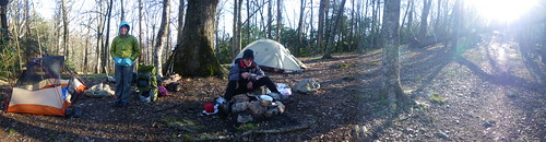
That night we made it to the shelter and it was packed, only 10 miles out and it seemed everyone wanted to hit that site. This is where we first met Nobody, a tattooed bar owner from New Orleans. He was also the athletic challenge type and was planning on trying to get to Erwin in a short amount of time, just to see if he could do it. At that point in time I always wished I could do that sort of thing! We also ran into Red Beard/Grateful and Jasper again.
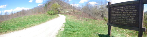
We took this sign at Allen Gap and at this gap we saw Jasper and Grateful on the other side of the road. Jasper was excited about seeing new hikers and ran across the road to greet us. We walked across and sat down for a little break when Jasper saw another hiker on the other side, only this time there were cars coming. Jasper ran into the road and stopped. We’re all yelling at the dog to move out of the way and he is so confused and for some reason he narrowly misses getting hit. Then he just as he makes it to the other side he decides to come back over and of course, get in front of another car. It was a sweaty few seconds but the dog made it back across alive and was promptly put on his leash!
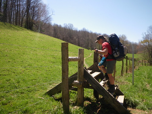
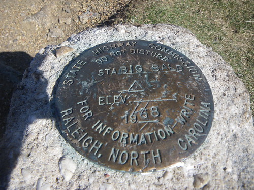
We had one pretty rough climb that day, 1,000 feet in a smidge over a mile up to Camp Creek Bald. Somehow it didn’t really turn into a bald; perhaps it was at one point.

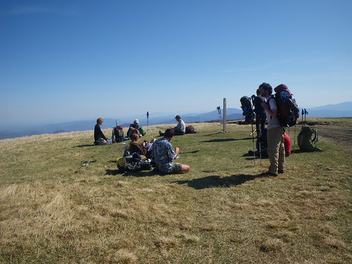
We had some beautiful views from Blackstack Cliffs and Big Firescale Knob. We poked our head in a few little side trails to see about some views.

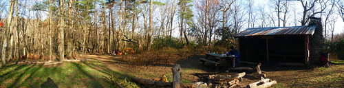
Jerry Cabin shelter where we camped for the night.
The guy in this photo is named Hobbit and he was hiking a 25th anniversary hike of his first thru-hike on the trail; hiking back to Maine where he lived. We never saw him again after that day. I think we kept in front of him for awhile until we took the time off in Virginia.
The next morning we climbed up Big Butt Mountain and of course all during the climb I had the song on my head. If you don’t know what song I’m talking about you must’ve missed the 90’s.
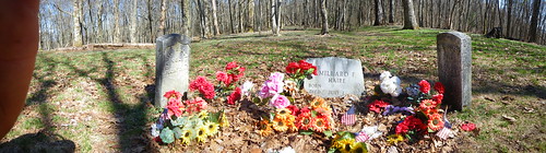
The trail was really smooth along the way down to Devil Fork Gap. Along the way we passed the Shelton Graves a Civil War massacre site. A lot of the trail in the southern section, and well I guess along the whole thing, has portions that were taken by locals for hundreds of years, including the Native Americans who settled it. I couldn’t help but think of these soldiers hiking over such long miles with the pitiful shoes they used to wear and drinking untreated water.
At Devil Fork Gap we got super awesome trail magic by a couple who’d hiked the AT the year before. The husband made homemade pizza’s on his propane powered oven! It was so awesome! The next thing we had on our agenda was to go up Frozen Knob and head to Hog Back Ridge Shelter.
We eventually ended up stealthing at a site about a mile or so past Sams Gap where a spring and small tent site was located. The sunrays were beautiful coming through the trees and we were joined by at least three other hikers.
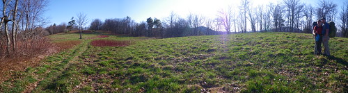
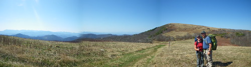
The following day we had some beautiful balds to go over and it was such a gorgeous hike. Our first was to tackle Big Bald.
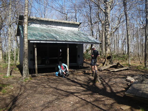
Bald Mountain Shelter.
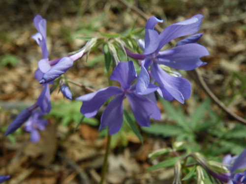
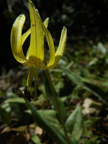
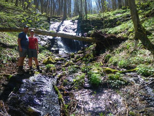
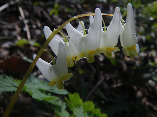
It was one of those perfect spring days, where things were beginning to get warmer and the wildflowers are blooming everywhere. After a brief stop at the No Business Knob Shelter (no privy, no water…bummer) we kept on going down to Temple Hill Gap where we stayed for the night, putting us closer to getting into Erwin the following day. The hike into Erwin was only four miles and of course the book makes it look like it will be mostly down hill but there were some PUD’s tucked away in there. But, of course we rolled into Uncle Johnny’s hostel, right off the trail by about four steps, and into Erwin quite early in the morning.
Shelters we stayed at:
-Spring Mtn Shelter
-Jerry Cabin Shelter
-“springs” at mm 316
-Temple Hill Gap
Up next…Erwin to Damascus and one of my favorite sections.
You May Also Like