Trail Tales 13: Connecticut
Relevant posts:
New England
Once inside Connecticut we climbed Ten Mile Hill. The day had turned overcast from a mostly bright morning. On the north side of Ten Mile Hill we met some Student Conservation Association volunteers reworking parts of the trail. I know that in general flat rocks on the trail are looked at as being nice, but I personally feel like they are just too slick to walk on and would much prefer bare dirt. I’m not talking about trail that is already littered with rocks, but when a trail has specifically been maintained to add rocks to the trail.

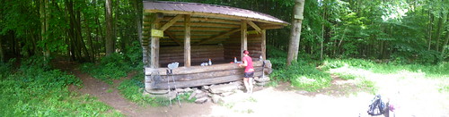
Lunch was at the Ten Mile River Lean-to just up from the actual river. There are no camping signs all around the river, but man, what a nice spot it would make. We tried drying some things out and took a small nap in the shelter and then mosied on down the way.
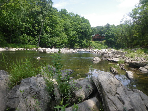
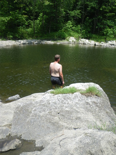
After eyeing the river a bunch, Chris decided he wanted to get in and swim. (Can I have the house at the end, there?)
Just about the time we started wrapping things up in the river we saw thunderheads in the distance with low rumblings coming on. Soon enough a storm came very, very quickly and Chris made a quick call to his dad to find out what the radar looked like. Turns out we were surrounded by a bunch of red and so we decided to throw the tent up and ride it out instead of walking in lightning. We took a nap for an hour or two and the storm passed. Before we took the tent down we heard someone walk by and thought it might have been Cubbie and Dilly Dally but we weren’t sure. As we started taking the tent down Caboose and Spark did show up and told us they were on top of Ten Mile Hill as the storm came over them and they were dashing down as the lightning was striking all around. Eek!
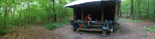
On our way to the Mt. Algo Lean-to we saw Caboose and Spark drying out on Schaghticoke Mtn and so we stopped for a minute to try to do the same. As we kept going we started hearing thunder again so we tried to make a mad dash for the shelter. Luckily the rain missed us and it was a pleasant evening at the shelter. There was a southbound section hiker and two other section hikers there who’d just come from town. Since we were going to resupply in Kent the next morning and hadn’t had a short day in quite awhile we decided to sleep in the next morning and only planned for about seven miles the next day.
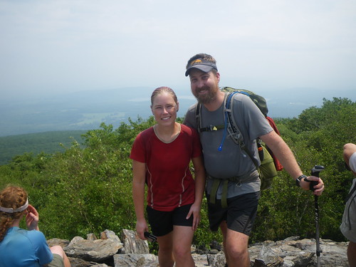
We’d been warned by several people that Kent is not a very hiker friendly town. The southbound section hiker told us to not even bother hitching and to just walk into town, so that’s what we did. There was not a very good shoulder to walk on so we had to be careful as cars passed on the two lane road. I knew we were in a fancier part of the state when we passed a boarding school and then when we entered town it seemed like a Martha Stewart type cottage town. Very cute, but you can tell some affluent people live in the area. On our way in we saw Cubbie and Dilly Dally and Sly Jangle eating at a pastry shop. Turns out they’d gone in the night before and someone from town had let them stay in an empty house for the night and they’d gotten beer as well. Drat! We saw Caboose and Spark not long after as they’d passed us that morning since we’d slept in. We filled up for breakfast at a local diner and then resupplyed at an IGA in town. We had some things to mail home and while there a woman asked me if I was hiking the trail and then told me that sometimes the Curves allowed people to take showers for a fee. I didn’t have the heart to tell her I’d taken a shower two days before at the landscape place. We had lunch in town and spent some time in the library working on our resumes. We thought we’d have time to work on them more on the trip but it definitely wasn’t worth the time to do that nor to even worry about it.
On our way out of town we saw Merf walk in and she said that Little Brown, Moose and Tetherball had also come in. Merf and Little Brown were also supposed to come to the shelter we were going to that night so we were looking forward to some company.
Stewart Hollow Brook Lean-to.

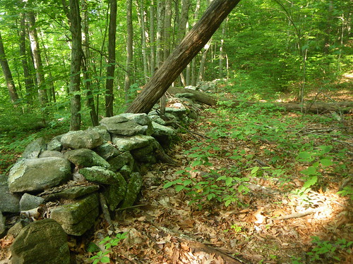
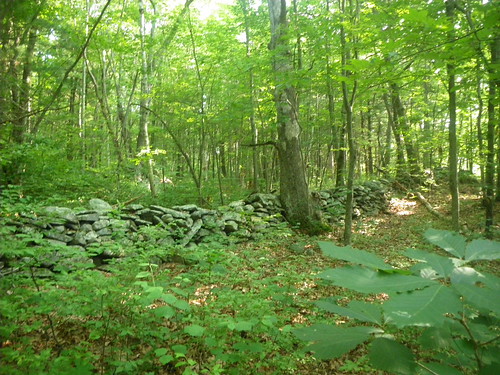
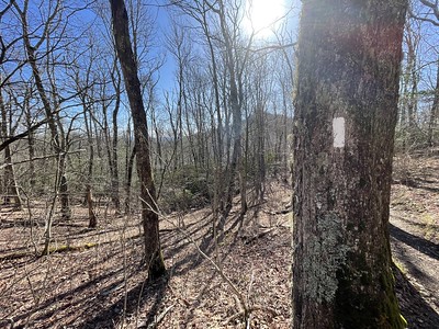
Connecticut has a lot of rock walls in their forests, I suppose from old property lines.

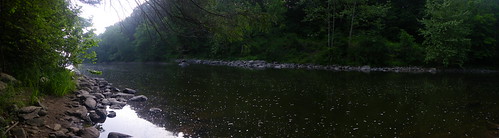
The trail follows the Housatonic River for a good while and the going is very smooth. Chris really wished he had a good fishing pole a few times so he could join some of the fishermen we saw in the river. We planned 23 miles from the Stewart Hollow Brook Lean-to to the Limestone Spring Lean-to but the first part of the day felt very slow and the 10 miles to the Pine Swamp Brook Lean-to for lunch crept by. Merf met us at the shelter just as we were about to leave and she said the same thing. Those low ups and downs really just wear you down. Near the Belter’s Campsite we saw our last timber rattler on the trail. I heard the rattle first and stopped trying to figure out where it was when we saw three weekend hikers warning us of the rattler. We just kept on moving to get out of its way.
At U.S. 7 we were supposed to take a detour that would add some miles to our day but we’d heard from a few people that avoiding the detour was do-able. The only problem was that it was on a bridge that was being worked on and they had one-way traffic heading down it. We ended up timing the lights right and then making a mad dash down the road before the traffic got there, but then we got seriously confused because the regular trail was marked a bazillion different ways. After walking up and down one road a few times and then realizing we were definitely not on the trail we finally figured it out, only to get down the trail to another intersection and see more signs warning about a detour. We got a little worried but then finally when we came to the hydroelectric plant (where you can take an outdoor shower) and knew we’d gone the right way. *phew*

After going up Prospect Mountain we came to the Limestone Spring Lean-to, which is .5 off the trail and down a steep hill. We weren’t sure if anyone was going to be there but we saw Caboose and Spark there and eventually Merf showed up. We met an AMC-CT trail runner who told us about some people he knew in the White’s that we could name drop to maybe get a free night to stay at a campsite.
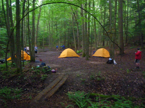
Also camping with us were a Boy Scout troop who were a bit rowdy and were throwing a football a bit too close to our tent. I know, I’m a cranky thru-hiker.
Rand’s View. Caboose and Spark convinced us that we needed to stay at Upper Goose Pond on Massachusetts so the following morning we had to detour into Salisbury to pick up an extra day of food. Salisbury is also a very nice and affluent town but the people were very friendly. After grabbing some extra food and a second breakfast in town we made our way for Lions Head.
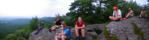
Lion’s Head. The climb up was quicker than expected and we found the other three already there, though we thought they would have been long gone.
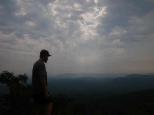
A humid, overcast day.

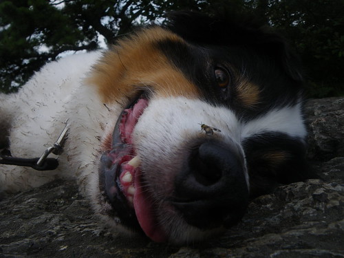
Friendly dog tolerating a bit more of the horsefly than I would!

We hit another Bear Mountain just south of the Mass/CT border where several day hikers were asking questions about our hike.
We spent all of 3.5 days in Connecticut before we crossed into Massachusetts.
You May Also Like
One Comment
Patrice
I just caught up on your trail recaps and I agree with a previous poster … I feel a book in the works!!!!!