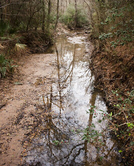
Morning Along Can Creek | Lost Maples State Natural Area
We got up early from our campsite in order to take our time driving back home, a good five hour drive without stops. On our way into Vanderpool we had seen several plant nurseries and other random places we wanted to stop, so in order to do that we arose early while the fog was still lingering and the crowds were snug in their sleeping bags.
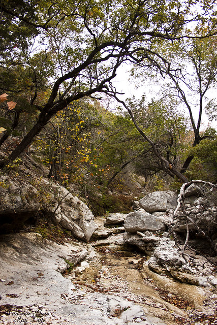
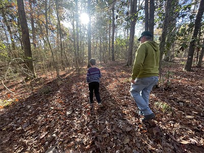
It would be an easy hike out along mostly flat trail once we descended the bluff. Our exit route was via Can Creek and the West Trail, merging with the East Trail and dumping back out at the main entrance road.
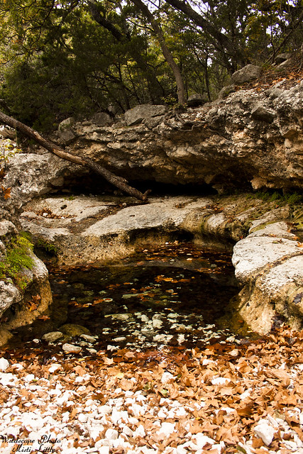
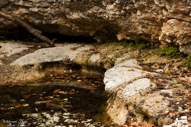
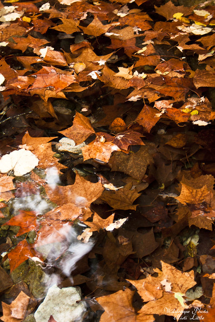
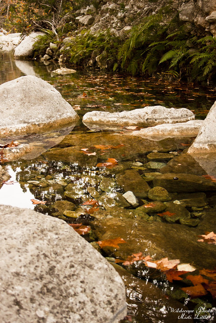
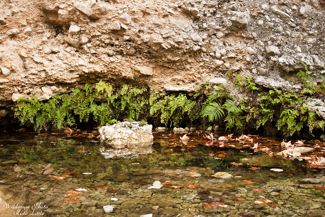
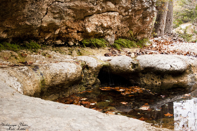
We arrived at our first stop, the spring, and took a few photos. It was very peaceful and the creek bed running the other direction from where we were going looked like a good place to snoop around if we’d had the time.
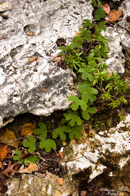
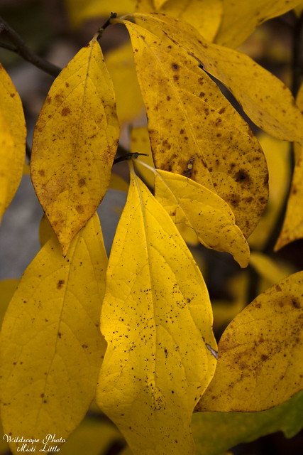
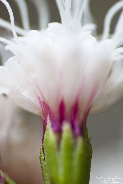
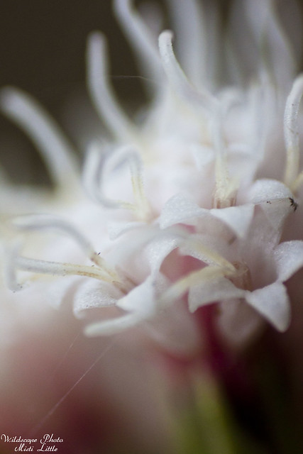
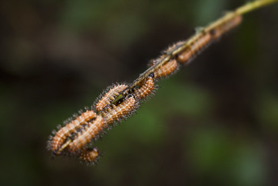
I think this is too deeply lobed to be Passiflora lutea, so I’m going with Passiflora affinis.
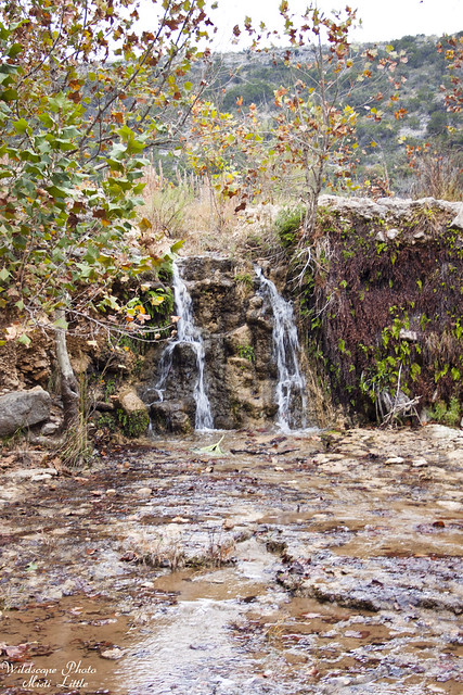
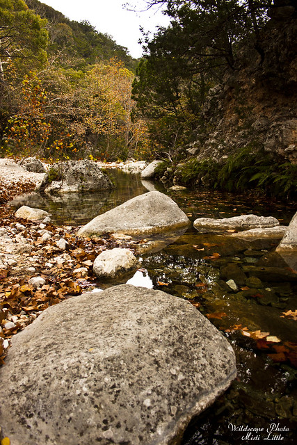
Near the junction of the east and west trails we found a small water fall and poked around there. Passing by campsite C was hard though, the smells of breakfast wafting through the air was enticing. This is the closest tangible walk-in spot for people with car camping gear. The trail on the way out there is relatively smooth and a cart could easily be utilized. So, everyone had their big camping stoves and the good food at this place!
*And* that is it! *Phew* I’m sorry it took forever-and-a-day to get this written up, and I’ll apologise even more when I finally get to finishing up our trip to Washington state from August. At the end of most days the last thing I feel like doing is sitting down and working on photos when I’ve already spent 8 hours behind a computer. Sometime soon I’ll wrap up that hike and get it out for the world to see. I’ve made a new resolution to start using a point and shoot more often on hikes instead of taking the ‘good’ camera…less processing and easier uploading.
Someday we’ll go back to Lost Maples but for now there are plenty of other places to explore!
One Comment
Moosie
Very pretty n peaceful