Final Thoughts + Photos & Video from the Northeast Texas Trail (NETT)
Final Thoughts:
- This trail is a great concept, just not ready to be fully executed yet.
- To be ready for hikers and bikers alike, there needs to be some organization in regards to trail maintenance. I’d venture to say that even the width of the railbed doesn’t need to be cleared, and really hikers only need a nice singletrack. Of course the bicyclists will desire more room to ride so more clearing will be needed. Unfortunately it doesn’t seem that the trail alliance is as organized as other long distance trails, yet, and either the local cities or highly motiviated locals and trail users are the only ones who keep what is currently open, open. This is aside from any landowner issues, which I think will be resolved sooner than later.
- If any kind of section maintenance groups can be set up, coming in twice a year to maintain would be great. Open dumps could potentially continue to be a problem, too. Working to create some kind of local ownership/pride of the trail would attempt to discourage the open dumping.
- Blazes or signage that is more inconspicuous and less open to damage by delinquent individuals is needed. While it is rather obvious that the trail is following an old rail bed, blazes every quarter mile and some kind of mileage markers every so often would help. We found a couple of broken wood markers outside of DeKalb–great idea until the stray ATV user finds it.
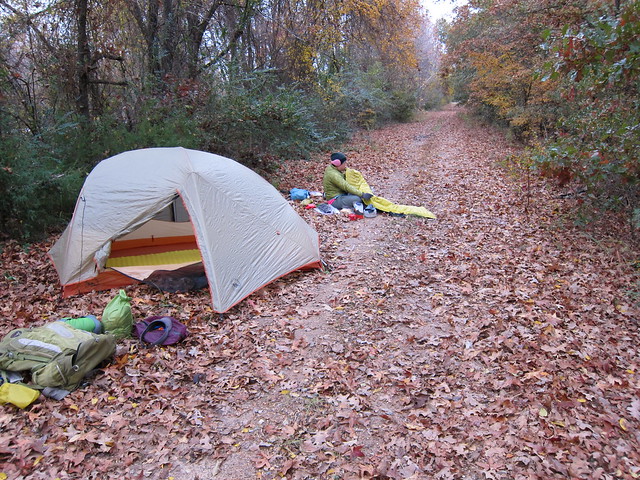
- Designated campsites. While stealth camping is most likely what’s going to be the norm for backpackers, it would be helpful to have campsites located every 10 miles or so, that are known to be good for setting up a tent and somewhat secluded from view. The bicyclists aren’t going to appreciate this as they will be able to push larger miles and get into towns with a motel or B&B, but the backpackers are going to be doing 15-25 mile days and won’t always hit a town with any amenities. Camping next to the road is sketchy at best, but having ‘safer’ areas to camp would be appreciated.
- More information on town amenities. I had printed out a spreadsheet with information on what each town had but I don’t believe it actually said if it was located in town or on adjacent street. Hikers aren’t necessarily going to go out of their way if it is more than a quarter mile off trail. Two towns we went through supposedly had a gas station and yet only one was barely in view from the trail and still a half mile off the trail. We did not stop there, but had been planning on getting water there. It would have been nice to know so we could filter water on the trail prior to getting into town.
- I’m concerned about the construction along U.S. 82. Based on some stuff I read online, it seems that it may be progressing further along the road, west into Red River county. If this is the case and they continue working how they were in Bowie county and removing the vegetation buffer between the trail and the road, there will be no opportunity for camping from New Boston to Avery, and then maybe from Annona to Clarksville. And who knows after that. Not only that, it would be visually polluting to be walking and biking next to a roadway….why not ride and hike the roads then? It seems the trail alliance should have some kind of input if the roadwork continues. There were piles of debris still smoldering in the section just west of I-30 until DeKalb. It wasn’t pretty.
- This trail could be great for those in north Texas looking for a local adventure, but I think it is a good 2-5 years from being open and ready to use. I think the clearing that needs to be done on the ‘bad’ sections (and you don’t really see the bad in the photos or the video), will be rougher than people imagine. But, get it open…and it could be good.
And now for the photos:
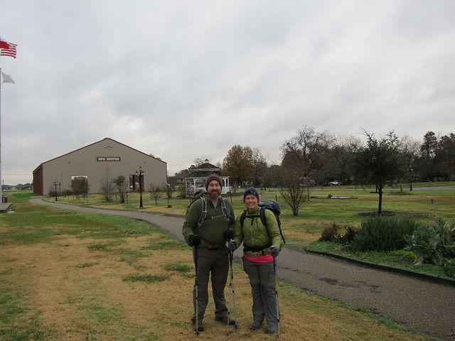
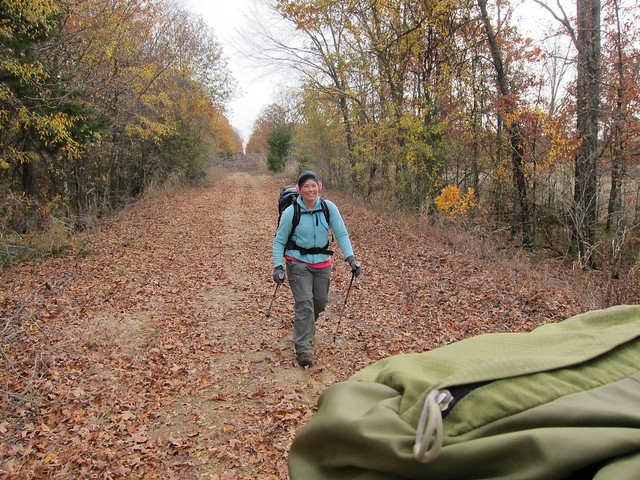
The eastern terminus of the trail in New Boston.
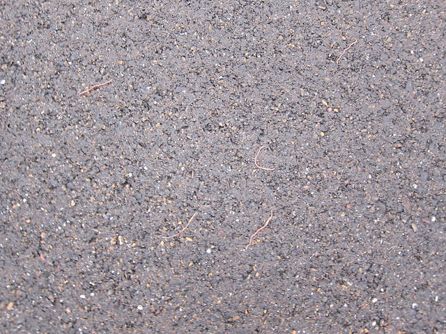
Weird worms covered the pathway leaving town.

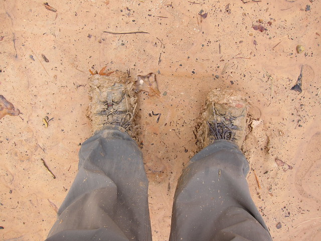
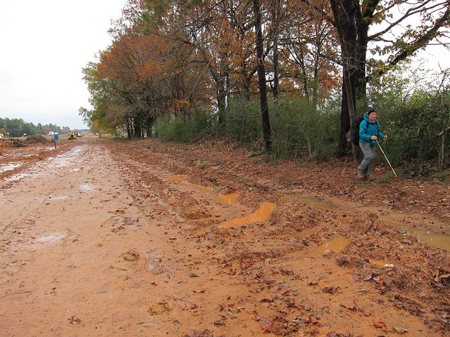
Found the mud.
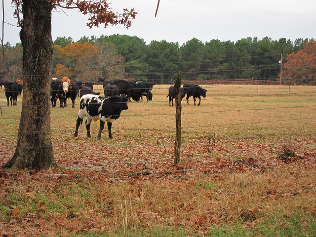
Cows and horses followed the fenceline any time we came along!
Faux-scenic….there’s a house 200 yards down the way and behind me is the highway.
But still rather pretty.
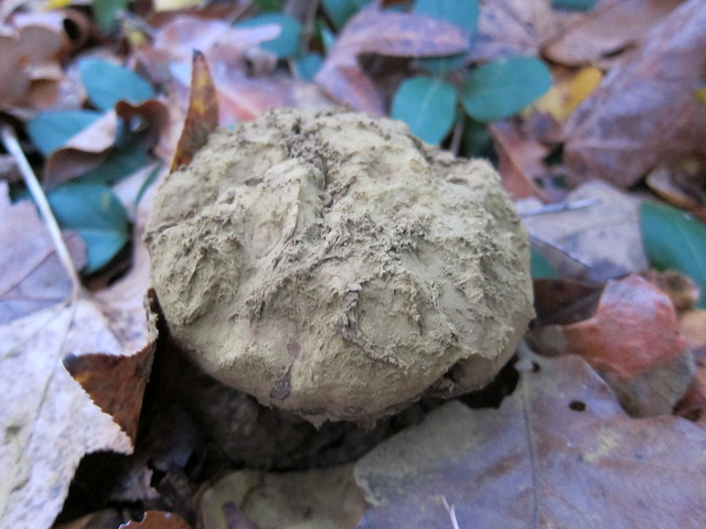
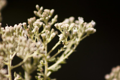
We passed a lot of these fungi along the trail.
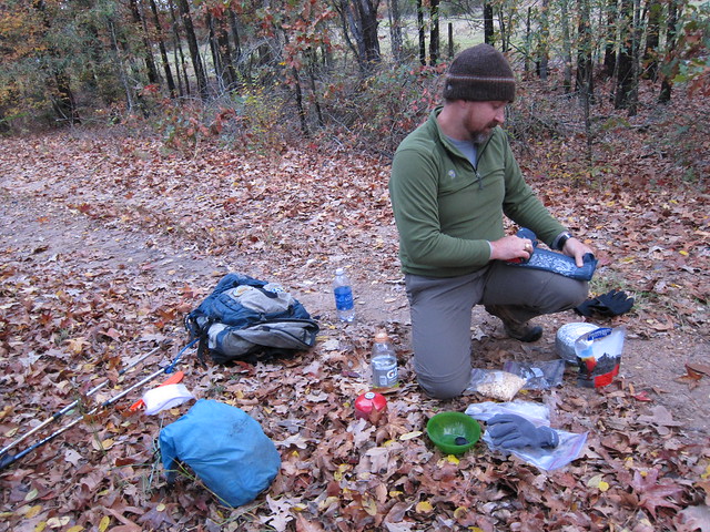
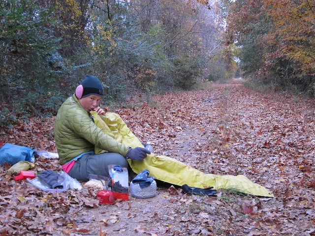
Dinner!
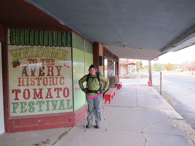
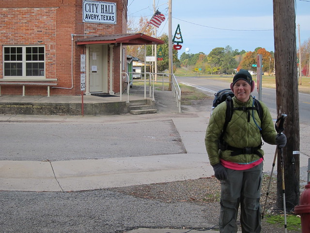
Sunday morning in Avery.
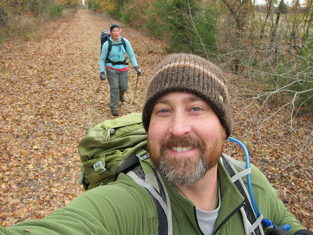
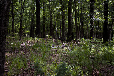
A good section of trail.
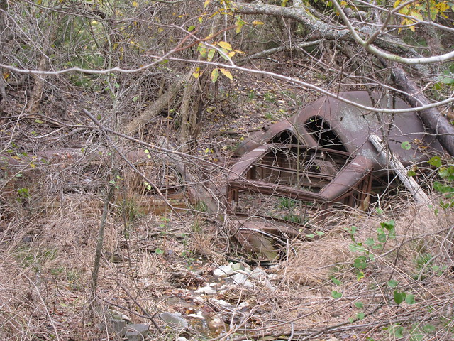
The old cars in the ditch west of Annona.
We didn’t take any photos after this, too busy battling brush. I really wish we would have thought about it, but I think we were assuming we’d be finishing the trail and could take video of other thick parts later on.
And here’s the video…this was my first time adding in music, so I hope it isn’t too loud or annoying.
2 Comments
Moosie
Good pictures! And movie
Patrice
Nothing ventured, nothing gained. You have to look at it that way. You would have always wondered … Major kudos for y’all attempting “the road not taken.” That trail definitely needs to become more user friendly. Why advertise a trail that you can’t even get through??? Geez Louise.
Next Thanksgiving, just stick with the Lone Star Trail.