Florida Trail Tales 9: S.R. 221 to S.R. 319
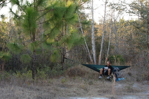
After resupplying in Shady Grove we got back on the trail through more private logging areas. This time we mostly followed well drained logging roads so there was no water involved—mostly! We had a few miles stretch between U.S. 221 before we crossed over U.S. 19. This was more of a major artery into Perry than the other road had been so hitching would have decent here. We took a short break to dry out our tent in the afternoon sun. We had continuous problems with dew on the tent and had to constantly take time in the morning or afternoon breaks to let it dry.

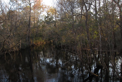
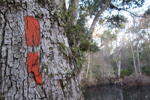
We entered an area managed by the Suwannee River Water Management District and the Econfina River runs through this area. Along the way we’d missed a blue blaze high water route that we’d already decided we’d thought to take but instead we ended up wading some chilly water on forest roads. So, we got wet and took our boots off several times. At this point we’d decided to just go barefoot instead of taking our packs off to switch shoes. This photo is nabbed from Speaker’s photos.

At the Econfina River bridge, which we got to quicker than anticipated, it was such a lovely evening.

Yes, that is the color of the water we drank! Love that tannin! It doesn’t taste bad, just looks like tea.
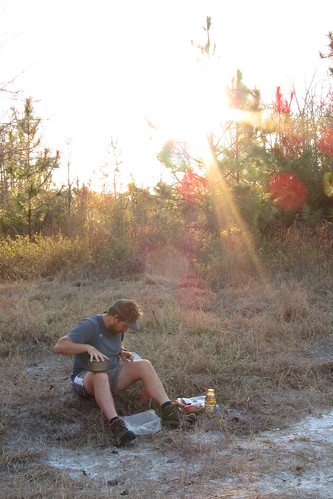
We found a clearing a bit past the bridge to camp for the night. It was near the dirt road but we thought there wouldn’t be traffic, however at nearly dusk a truck crammed full of what looked like weekend hunters drove by. We waved and they drove on.
The skies the next morning were beautiful as we continued to follow more forest roads through the WMA and through private pine plantations. We’d peer over into some cypress domes and be thankful we weren’t wading. We crossed CR 14 and noticed an SUV parked at the trail head and a short time later we met a woman and three dogs coming from the other direction. Normally we are used to people stopping and asking what we are doing but this woman must’ve been nervous about three smelly people and kept her head down as she went past.
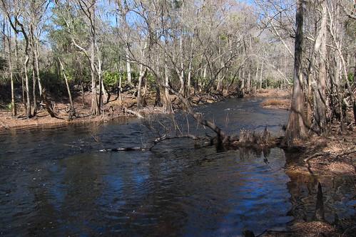
Before we knew it we’d finally ditched the forest roads and found real trail. It was not well trod, but before we knew it we were at the Aucilla River! It was beautiful!
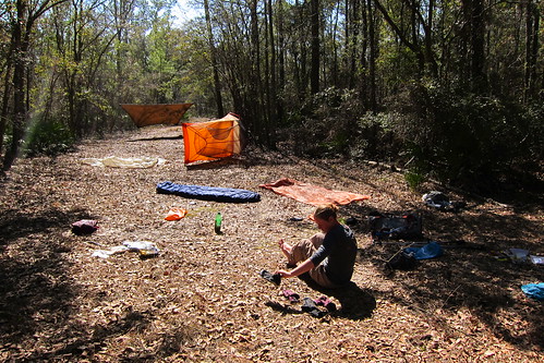
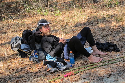
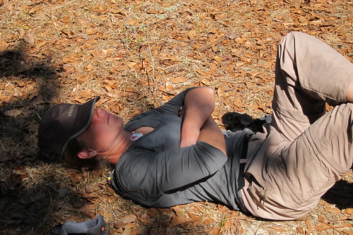
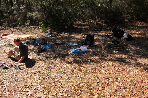
We spread out at what we thought was the designated campsite (to learn it was really another .1/.2 down the trail) for lunch, drying things out and relaxing in the warm February sun. A local came to see us while we were eating and said he had been working on some of the trail maintenance in the area. He didn’t stay long, normally trail maintainers linger but this one didn’t. It’s nice to talk to the local folks sometimes, get a perspective on the area.

This area is said to look prehistoric, and it does. It’s mystical and so beautiful. Every little bend we’d come to we’d ooh and ahh and despite having some crappy trail in recent days this made up for it some.
I’ve got lots of videos!
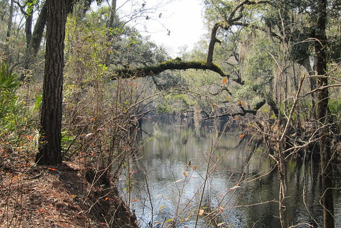
Some kayaks would be pretty sweet down this river!
We did see one boat on the river, though I never figured out where they put in. Eventually at one end of the river the river goes underground, so it must’ve been from up river. There are access roads paralleling the river in a few areas so we did run into a few others, including a photographer at the next video.
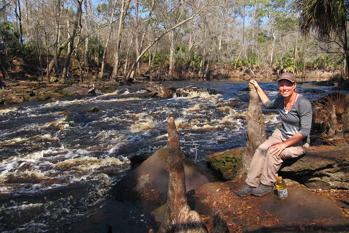
The Aucilla seems to be moving slowly but here it is moving quite quickly!

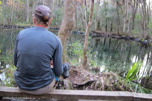
So many little places to pull off and sit, to relax and take it all in.
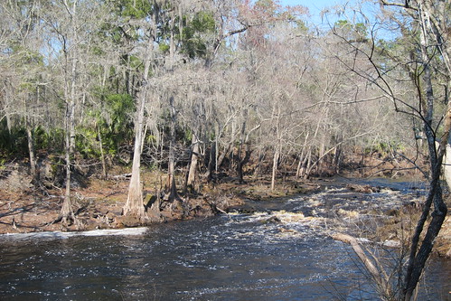
Further up the trail and looking back at the rapids.
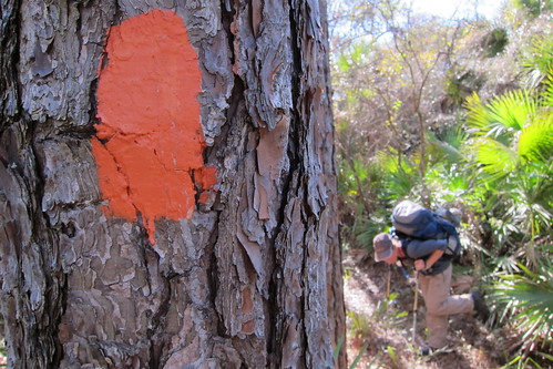
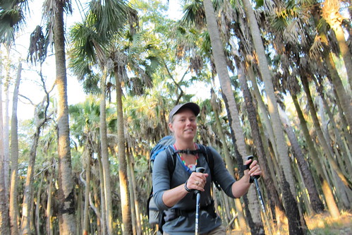
I’m doing my “You want to stop? I’m gonna lean on my poles and look like a flamingo so I can rest my feet a minute” pose.
I look like I’m about to break into a run here!
After another break at one of the designated campsites we finally found where the river goes into the ground.
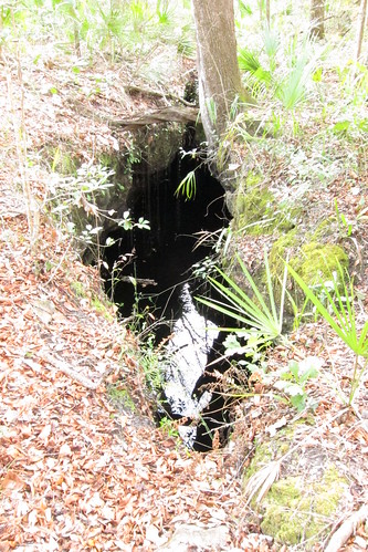
And it wasn’t what we expected. I was expecting some sort of waterfall into a pit, not a sluggish river appearing to just stop.

At the end is a pile of logs and branches interspersed with pieces of trash.
And that’s it. Slightly cool but also slightly disappointing.

Next up we got to follow the river as it flowed underground via the Aucilla sinks. A few day hikers were around, some were trying to scavenge for artifacts, looking but not finding any (and illegal). An ancient tribe was found under the river, the site of many of the artifacts that may be found.
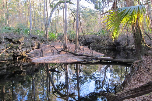
We were also supposed to see a whirlpool but was again disappointed to find nothing was whirling. Guess the water has to be higher?
Not far after the crevice we ran into one of the weirder situations on the trail. Luckily Speaker was in front of me and he stopped short quickly. Ahead were two men who had been hiking nude! They saw us and turned quickly but I saw enough to know what was going on. We eased up giving them time to cover themselves and we passed the first one with a quick hello, trying to smother laughter and curiosity and the second was hiding behind a tree trying to put some shorts on. Strange people in the woods!
The next morning we were looking forward to a stop at JR’s Aucilla River Store along a roadwalk we had later in the morning. We were up early, looking forward to getting some food for a snack or early lunch before hitting St. Marks NWR.
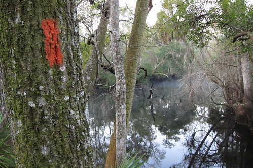
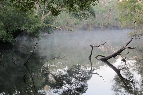
The sinks were particularly beautiful in the morning.
After leaving the Aucilla River a dirt road busy with construction and local traffic from a nearby phosphate mine we managed to make it to the narrow U.S. 98. A prison work crew was setting up to start picking up trash along the road as 18 wheelers hurtled by. We’d alternate from walking along the white line to jumping to the grass. We noticed that the netting they lay out to control erosion while grass is seeding after road projects was not particularly doing its job as there was very little grass continuing to grow in new.
Finally we reached the store, a quiet gas station with signs out front protesting the proposal of having Nestle Water come in and bottle in the nearby rivers and springs. Inside we bought burgers to heat in the microwave and sodas for our mid-morning snack and sat outside the front door while eating them. It’s a cozy place, JR’s, friendly to hikers and if you need you can camp behind their store with permission.
Back down the road we went, another few miles before we would have to get back into the woods at St. Marks National Wildlife Refuge. We had about half a mile of nice trail along a well manicured road before entering the woods and finding it very, very wet. We did our best to try to avoid the wet path before giving up and switching our shoes. The water was cold! My feet would ache with the cold as we tiptoed through the water, sometimes I wondered if it was better to go fast or to go achingly slow and ease through. We’d get to a small island of cabbage palms to dry out for a minute, warm up, and then move on to the next bit of water. Eventually we found a deeper cypress dome but luckily it had bog boards running throughout it. We wondered why there weren’t more of them along the way! Finally we reached an old railroad tram where we put our socks on our frigid feet and back on the hiking boots went.
At a clearing with a junction of another tram/levee we took lunch. On our way in a sign made mention that we would need to pay and check in with the rangers if we were through-hiking the refuge. Apparently only thru-hikers are allowed to utilize the back country campsites. We’d considered just ignoring it and stealthing but decided at the last minute to go ahead and call in. We let them know we would come the next morning to the ranger station to pay our very meager fee, a few dollars a person, to stay at two sites in the refuge. Good thing we did because we did hear a truck drive by the Ring-Levee campsite that night shortly after we’d gone to bed.
After lunch we continued along the levee watching the vegetation slowly change from freshwater wetland plants to incorporating salt water plants, particularly after crossing the Pinhook River and campsite.
About two miles later the real FT ditches into a cabbage palm swamp while a blue blaze continues along the levee. The real trail parallels the levee the entire way, weaving along. With the cold water in the morning we’d decided we’d had enough of being wet and decided to blue blaze this section. Since we did that it cut a mile or two off our day which allowed us to linger at a few stops along the way.
Finally we were able to see the ocean, wayyyy in the distance! The guidebook says that you can see both coasts, the west coast and the north coast, which is sorta true, but it is a little bit far fetched if you ask me. I was expecting a lookout tour but we had to peer across the marsh from the levee. As we got closer to the ring levee campsite we were finally able to see waves in the distance, at least a mile away. Speaker had been smart and refilled his water closer to the freshwater marshes and the book had warned us that we should try to get water at the campsite during low tide to avoid getting brackish water. We got some pretty brackish water that evening, making everything a little too salty at dinner.
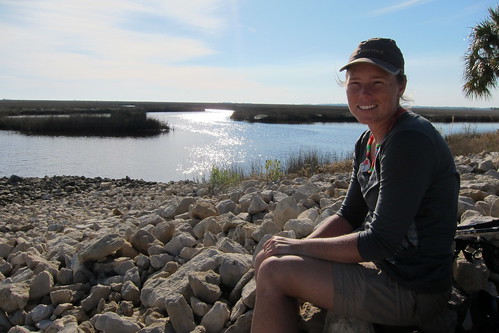
This area also has a paddling trail but I wonder who actually thru-paddles the Florida Circumnavigation Saltwater Paddling Trail?

Speaker trying to get a better photo from his bamboo poles.
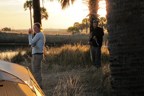
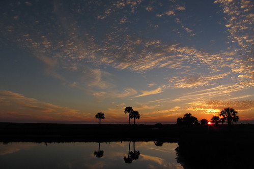
The campsite was gorgeous, despite the very annoying noseeums. Yes, those little flakes in the photo are all of those little bastards! DIEEEEEE! I gave up and went to the tent to read while the following went on.
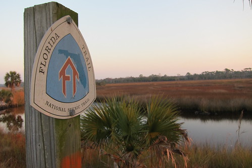
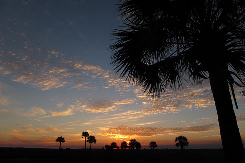
Morning was almost as beautiful…
In the Stony Bayou pool we were rewarded with lots of wildlife, including migratory birds but also a couple of friendly otters. This one was playing with his breakfast!
Instead of following the trail and then taking a blue blaze to the park office we road walked instead. The office staff was friendly but it seemed like such a hassle not to be able to pay over the phone or by the internet. Instead it says you can mail your money and reservation or you’ve gotta detour to walk in. A big hassle! I guess there are not enough people thru-hiking the refuge in order to elicit a money drop box at the entrances.
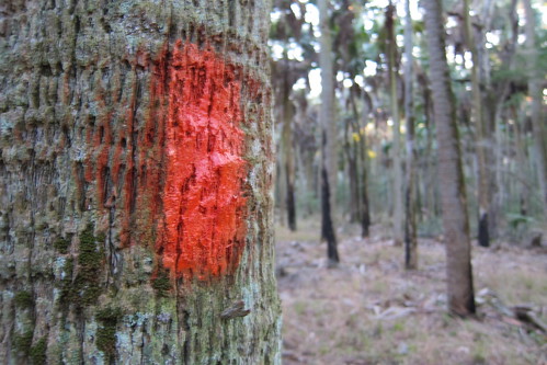
We followed the blue blaze back out to the FT, following an old levee towards the Port Leon campsite. Poor blazing in this section had us doubting ourselves, wondering if we’d missed a turn. We decided to continue with what we thought was the right trail and finally found a blaze. Need some blazing in here folks!
A few turns and back into the woods and onto a small logging levee as we made our way north to the St. Marks river.
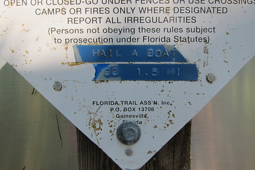
When we got there we found this sign. We’d been anticipating it for a few weeks, joking about how we had to hail a boat to cross a river! We’d called a ferry service run by a local fishing motel but it was a ridiculous fee, $25 for a 200′ boat ride. We decided to try our luck hitching a boat ride; the book said it would be relatively easy.

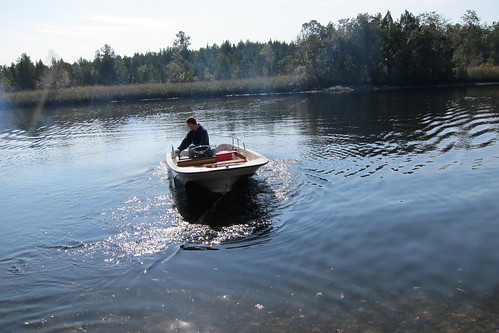
Only about five minutes were spent on shore when a small boat came by that we lucked into flagging down. He’d helped a few hikers across before so he knew the drill.
We’d been planning on a resupply at Bo Lynn’s grocery which we found to be only a bit bigger than the general store/gas station at Shady Grove. This was the first time PopTarts made it onto our breakfast list. We’d bypassed them on the AT and I’d always eschewed them because they didn’t seem to provide enough energy for me in the morning but it was either that or more granola bars and I was sick of those. PopTarts were the better option at this point. It’s amazing what you can put together from the weirdest resupply points. There had to have been spices and some items that had bee on the shelf since the 90s. Yes. Ick. The more popular items you could tell were restocked more regularly but some of the others—not so much! The older women running the store was incredibly nice and quite tolerant of hikers buying up her supplies of mac, ramen and other hiker foods.
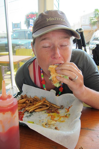
Across the street we filled up on burgers and sodas for lunch.
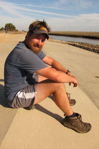
After filling our bellies we followed the St. Marks bike path through the west side of town. This is a well manicured bike path that had a decent amount of traffic and privies every half mile or so. Chris is a big fan of benches at campsites so we’d joke that he could sit at every bench along the bike path if he so chose.
Back at U.S. 98 we thought we’d have to roadwalk but instead found it paralleled the road in the woods, though it seemed to be a recent addition and in some parts was poorly maintained and barely a path at all. We crossed the Wakulla River, a crystal clear spring fed river, you could see the bottom from above the bridge at U.S. 98. Fishermen were dotting the shoreline and we peered in looking for manatees. No such luck!
Right after the river we returned to St. Marks where we took a short break in the middle of the trail to dry our tent again. This side of the refuge was beautiful, lots of wonderful cabbage palms and palmetto thickets.
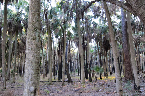
Finally we came to the Cathedral, an area of ethereal cabbage palms. It was pretty surreal seeing a thicket of them, some with charred from previous fires.
Then we came to Shepherd Spring where the book warns that the locals say a large alligator resides. If it had been hot out it might’ve been tempting to jump in for a swim. Good thing we didn’t because we did see a small gator!

You can see the gator in this photo near the stump in the water.
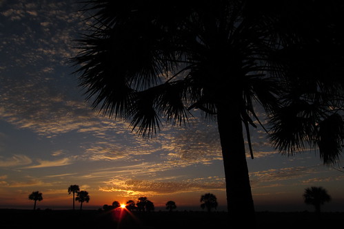
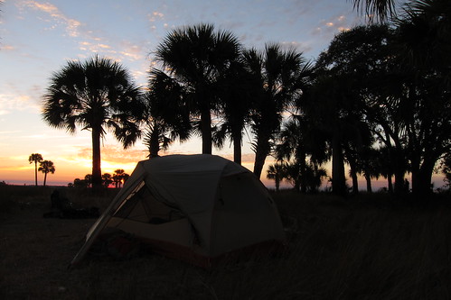
Our campsite was set in a pine and palmetto thicket, though sunset was blocked by a few too many trees. It was a quiet setting and very enjoyable.
The following morning was foggy and seemed to threaten rain, though it never did. We weaved through the forest and into a few wet areas, sometimes avoiding them, other times going straight through them. A few areas had some poorly built bridges with ridiculously high steps that involved pulling ourselves up to get onto the bridge. Then there would be a stretch of bog boards to stay dry and then a big area without them and then a random bog board again! During our mid morning break we heard an ATV that seemed like it was on the trail and then as we listened it seemed to be going off trail. We waited a few minutes to see what would happen but we never actually saw it. Curious.
I’m looking at the Google Earth map of this section and I’m realizing how turned around I was that day. Fog always makes me a little loopy, not seeing the sun and knowing which way is which. Ask Chris about the Grayson Highlands on the AT and how I thought we’d backtracked on the same trail we’d come at one point! Anyway, the sun finally start poking out as we had lunch on top of a pine covered sandhill. A couple hiking out from a nearby road passed us as we ate.
After lunch we were quickly at C.R. 30 and before I knew it we were crossing U.S. 319 and headed for Apalachicola National Forest.

















One Comment
Patrice
Very pretty section again! I have to admit, the first couple of sections of the FT seemed unappealing, but these last few are very nice according to your accounts and the pictures/videos.
Those noseums are intense in that one photo! I know the bugs are going to be INSANE in Maine … oh well.
I also feel the same way you do about pop tarts. I only bought one box to start the AT and mail drops.