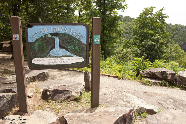
Cedar Falls Trail | Petit Jean State Park, Arkansas
Last weekend we were in Arkansas for a short vacation with my family. Saturday was the day they had to vacate the rental house on the lake and everyone else headed home for DFW while Chris and I were staying until Sunday. We weren’t quite sure where to go, wanting to take pictures, do a short hike, and sight-see. My brother mentioned he’d initially wanted to stay up near Petit Jean State Park and visit other areas nearby, but had changed the plans in order to simplify the issue of having to change locations every few days. So, Chris and I decided to check out the park and then see if there were any other waterfalls closer to Hot Springs we could check out.
Unfortunately most of the nicer (re: bigger) waterfalls were towards the northwest part of the state in the Ozarks and it was going to be well out of our way to go there. Petit Jean was as-the-crow-flies relatively close to Hot Springs but driving time was about two hours due to having to take Scenic Route 7 and other small, country roads in order to reach the state park. Route 7 meanders up and through mountains in several areas so zooming through isn’t really an option.
We’d left Hot Springs around 9 am that morning and figured we’d arrive at Petit Jean somewhere near lunch time. The GPS said we would pass through a few small towns so that’s where we thought we’d stop for lunch. Let me be clear—don’t rely on these small towns for food! Only one seemed to have a cafe and when we were about to get out and go in we saw a sign for cash only and turned back around to our car. A Dollar General was across the street and after we’d left that town and drove through even smaller towns I’d wished I’d found something at Dollar General to snack on before our hike. (As a note, we did all of our research on my mom’s iphone since the house didn’t have wifi, and we aren’t smart phone savvy so it was difficult for us to research fully. Just got the basics, which is why we didn’t know about food options.)
BUT—-all of that was resolved when we arrived at the state park, stopping shortly above a bluff with a parking area for a lookout. I saw a park sign for a lodge and thought–well, maybe there was some kind of concession there. I’d already resigned myself to sufficing with the snack bars we’d picked up that morning for during-hike snack breaks, but I was really hoping for some real food before going on a hike. I’d learned my lesson while climbing Guadalupe Peak not to hike on fuel that was not sufficient (I ate a salad before that hike, what was I thinking???) and didn’t want to have any crashes again.
Sure enough when we drove on down the road we found an old CCC lodge and cabins nearby, even a swimming pool area. FOOD! All was resolved! We had our lunch next to the wide window over looking the gorge and valley below. It was really spectacular to have a nice view and the food was pretty good to boot.
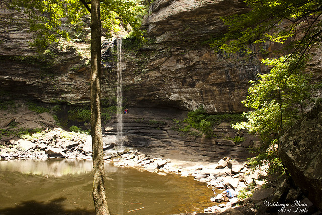
So, the photos are going to start backwards, from the waterfall and returning back up to the top. I didn’t want to carry my camera on the way down, tripping and falling ya know.
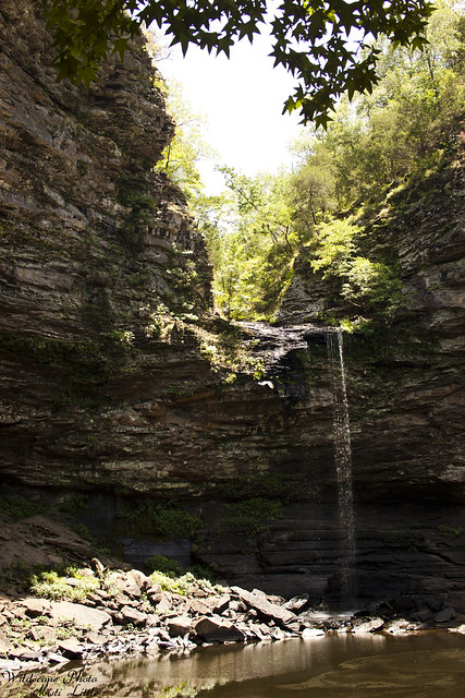
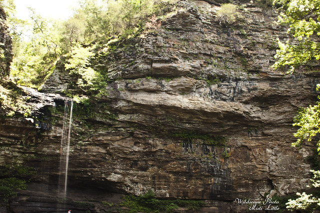
The falls were not running fast but based on other videos on You Tube it appears that the falls can run quite fast during recent rain events. A little awesome and scary looking from what I’ve watched.
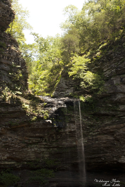
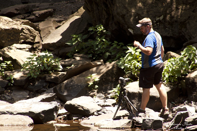
The area was relatively crowded and difficult to take photos. I wasn’t nearly as patient and landscapes are Chris’ thing anyway so I let him go for it instead.
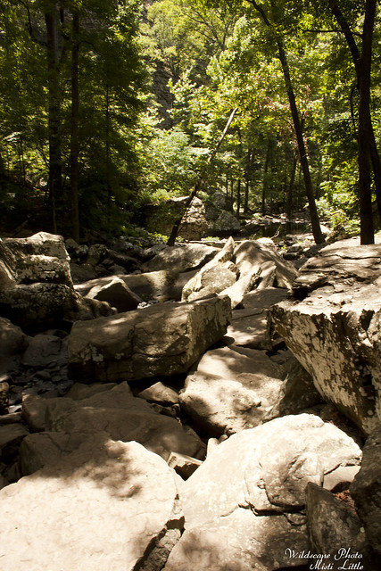
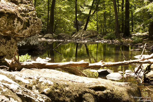
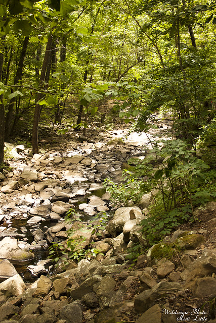
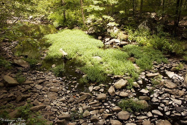
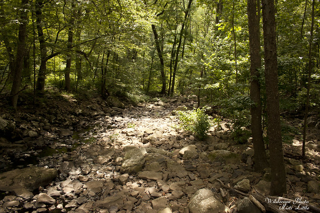
Looking down the creek bed, the dry area.

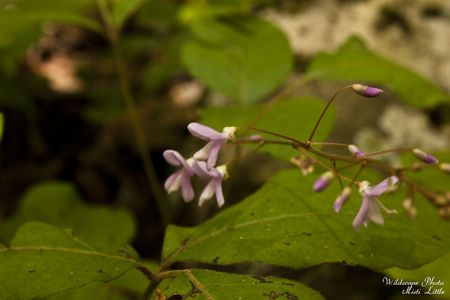
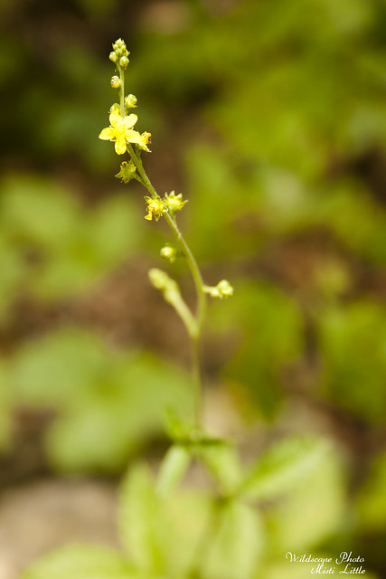
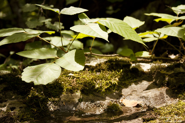
Chris found this variegated plant, which I believe is Boehmeria cylindrica.

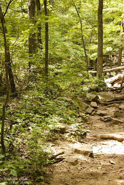
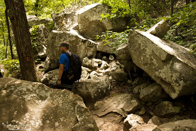
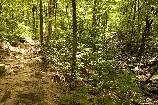
The trail was blazed orange, à la the Florida Trail. Doesn’t quite look like the Florida Trail though!
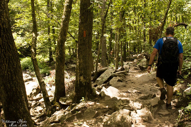
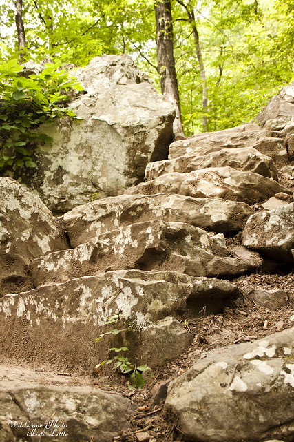
The big thing about this trail, or at least its hype, is that it is steep going down to the falls. And yes, there is a steep section for not even half a mile at the very beginning. The trail is switched-backed well, with of course areas where people have cut the switchbacks despite signs warning not to, but it was not all that intense for folks in a decent amount of shape. The rest of the trail is flat with a couple of undulating areas around boulders, but it is not a difficult trail.
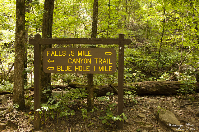
Probably should have dashed over to the Blue Hole, but we didn’t. It looks pretty nice too.
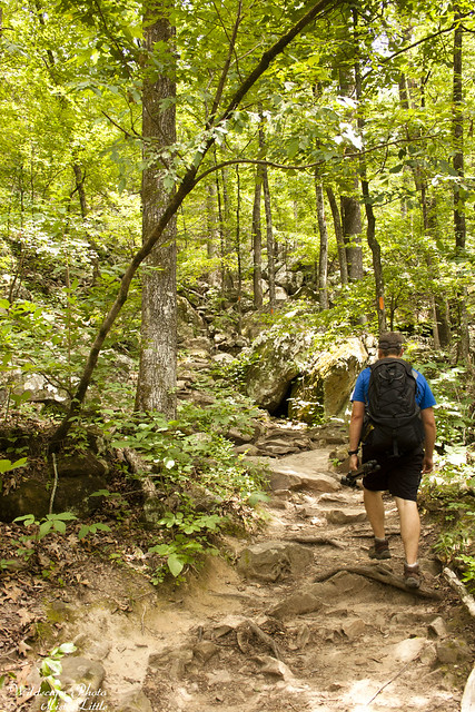
Heading back up the trail, see the orange blazes heading up?
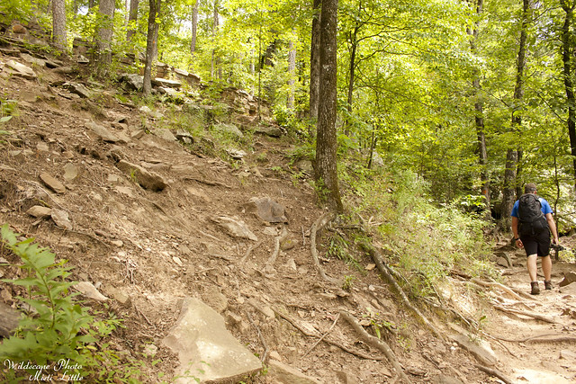
We thought the rock wall up on the top left was CCC built…
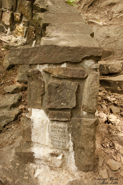
But apparently not. Maybe it was a renovation?
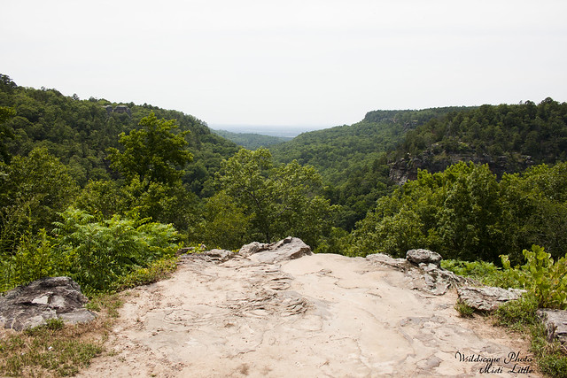
And back up top, this is the view from the lodge. Pretty nice, isn’t it?
I would have loved to have seen more of this park. The Seven Hollows Trail said it had grottos and a natural bridge which sounded enticing. Unfortunately it was a 4.5 mile loop and none of the interesting features were near the trail head, all well into the hike. Due to time we didn’t get to visit this one but I think it would be very fun to see if we were ever to go back.
Great trail, great park—just in the middle of nowhere….seriously.
